As a part of the MARIOT project, with Aalborg’s Sternula in the lead, Aalborg University, GateHouse SatCom, Satlab, DMI, Space Inventor and Innovation Fund Denmark will launch Denmark’s first commercial satellite into space when the SpaceX rocket Transporter 6 lifts off from Florida on 3rd of January. The purpose of MARIOT project is to demonstrate VDES-based satellite, thus the launch of Sternula-1 is a milestone for the maritime industry, as the satellite will be the starting point for the world’s largest satellite network targeted at the maritime industry.
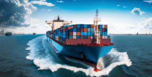
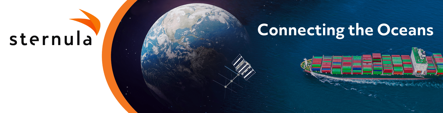
Aalborg, January 3rd, 2023 – The Sternula-1 satellite has at the time of writing been brought aboard the SpaceX rocket Transporter 6 in Cape Canaveral, Florida, from where the launch is followed remotely by a delegation consisting of Sternula, Aalborg University, GateHouse SatCom, Satlab, DMI, Space Inventor, Innovation Fund Denmark as well as representatives of the shipping industry, ministers and military officers. Sternula-1 is the first of a large number of small satellites that, together with a total of 60 other Sternula satellites, will form the world’s largest satellite-based communication network for the shipping industry. The network will cover globally, so ships will be able to communicate with each other, with authorities, service providers and, not least, the ports.
Sternula-1 and the built-in AIS 2.0 technology, also called VDES, offer enormous commercial potential, as the shipping industry lacks a common global standard for exchanging data and communication. The Sternula-1 launch is thus an important first step towards increased digitalization in the shipping industry, which will, among other things, lead to higher efficiency and a much easier digital coordination of everything from docks, provisions and fuel to location-based weather forecasts. Among other things, this will ensure less waiting time off the ports and thus lower CO2 emissions from the ships.
- AIS 2.0 brings completely new opportunities when it comes to digitalization and connectivity in the maritime industry. The technology can, among other things, trigger great benefits for maritime authorities, ship owners, coast guards and maritime service providers, who can suddenly make a wide range of new services available to ships while they are at sea. The satellite network has a high level of security and paves the way for a much more efficient shipping industry, which can thus also use the technology to lower their consumption and climate footprint, says Lars Moltsen, CEO of Sternula.
- Sternula-1 is one of the first of a complete constellation of Danish maritime satellites that enable the shipping industry to communicate globally using AIS 2.0. Since the new, secure protocols are used on existing AIS channels, the ships don’t even need to change antennas. Since the satellites fly low orbit, they can communicate with the same equipment as land-based radio stations. The result is global coverage at low cost. So low, that even smaller vessels can participate, comments Jens Dalsgaard Nielsen, Associate Professor at Control & Design at the Technical Faculty of IT and Design at Aalborg University, who is also part of the project.
One of the other partners on the space historical satellite launch, GateHouse SatCom, is also expected to be particularly crucial for one of the other partners on the space historical satellite launch.
- AIS 2.0 adds new secure data channels, more capacity, and global two-way connectivity via satellite. Because AIS 2.0 is safer by design it is the perfect way to transmit sensitive data. Thus, this new technology does not allow IP connections, which means that critical onboard systems, that are a target of cybercrime or terrorism may be connected securely to shore services via AIS 2.0, says Thomas Scott Jensen, CEO of GateHouse SatCom.
For weather service providers such as DMI, which is also part of the project group behind the Sternula-1 launch, there is great potential in the upcoming communication network of satellites.
- Sailing in icy waters is dangerous, and there are therefore great demands on knowing the weather, sea and sea ice conditions in the sea around Greenland and other parts of the globe with harsh weather. In the long term, a new global network of communication satellites will make it possible to exchange detailed information between shipping traffic and DMI’s Ice Service much more frequently than today. It can help ship traffic to a safer sailing and specifically benefit the Greenlandic environment and society, comments Jacob L. Høyer from the National Center for Climate Research under DMI.
Finally, according to Australian Jillian Carson-Jackson, who advises the marine industry on digitalization and new technology, there is a fine thread from Sternula to the overall strategy for digitizing the shipping industry:
- Adding the possibility of transmitting data packages to and from shore to ship, the VHF Data Exchange System (VDES) incorporates and builds on the solid foundation of the Automatic Identification System (AIS) which is implemented in more than 200,000 vessels today. VDES uses dedicated radio spectrum in the Maritime Mobile Band to transfer packets of digital data, supporting the digitalization of the maritime industry. The launch of a satellite developed specifically for VDES is a critical step towards the transfer of digital data from satellites to ships using the dedicated frequencies, evaluates Jillian Carson-Jackson.
For further information, please contact:
Lars Moltsen, CEO, Sternula, phone number: +45 25 21 46 35 / lars@sternula.com Press service: Jacob Lange, Lange PR, phone number: +45 20 76 30 20 / jacob@langepr.dk